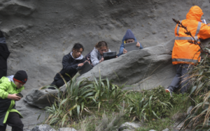
MoE funded PLD at Kahutara Primary School with Dr. Chris Hollis
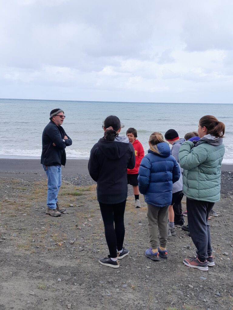
Chris specialises in palaeontology and climate change, and has helped establish several field based learning initiatives with schools and iwi groups. Staff and student leaders are taking advantage of fully funded PLD to help design their local curriculum.
Field Based STEM PLD Facilitator, Dr. Chris Hollis is sharing his vast knowledge of this region. Chris spent 23 years as a research scientist at GNS, with much of his research being focussed on this region.
Getting into the detail
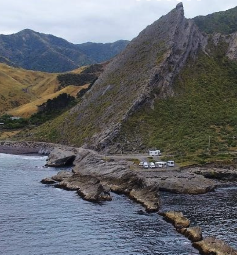
At Kupe’s Sail Rock, it is possible to walk up stream and go back in time.
First you are able to go down the sequence of the fossiliferous sandstones (formed 10 million years ago) that make up Kupe’s Sail (photo below).
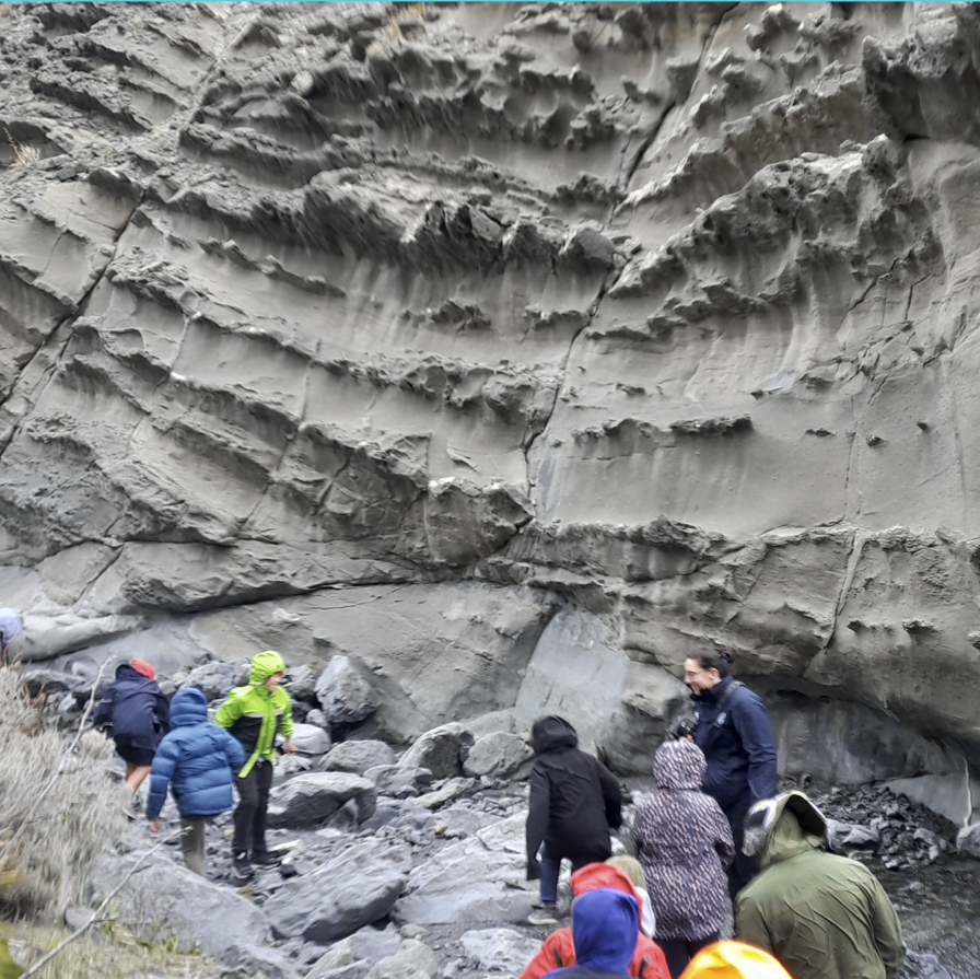
Fossil brachiopods provide evidence that these sandstones were formed in shallow marine environments.
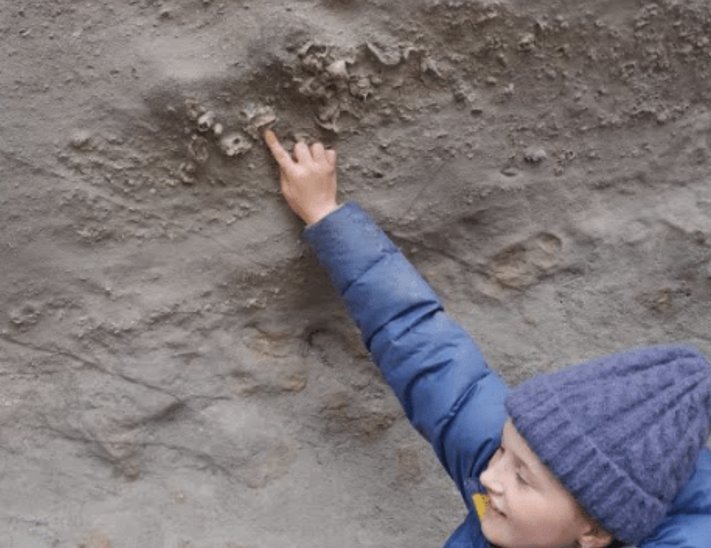
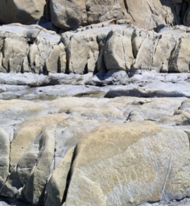
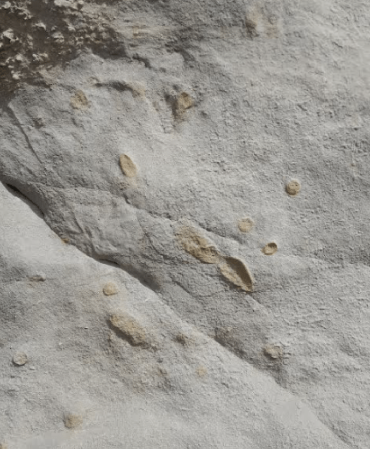
Fossil burrows (below) made by animals on an ancient sea floor.
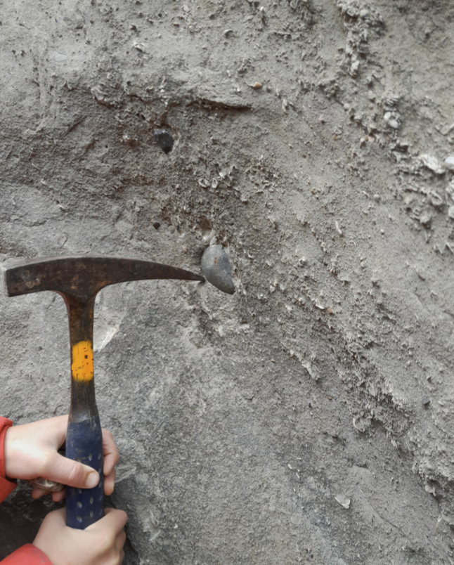
Greywacke Inclusion
The hammer is highlighting the presence of a greywacke pebble within the sandstone. This is evidence that the greywacke must have existed BEFORE the sandstone, i.e. this is evidence that the greywacke is older than the sandstone.
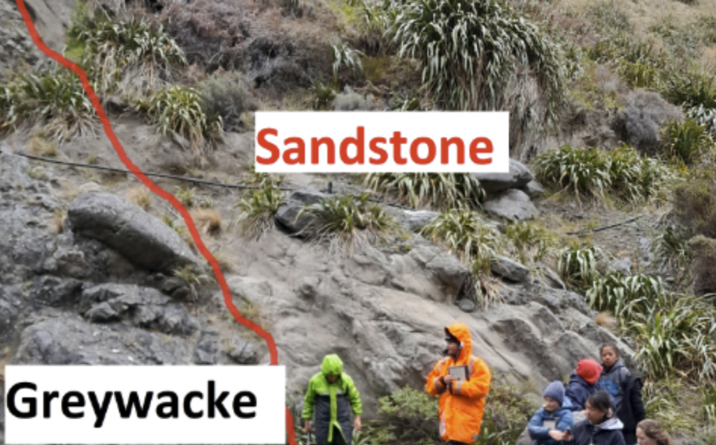
Lost Time
Beneath the 10 million year old sandstones are greywacke rocks that are approximately 110 million years old. The line that separates the sandstones from the greywacke represents a period of time of around 100 million years in which, at this location, all evidence of what was happening, has been removed. The term that we use for such a boundary (red line) is an unconformity.
Check out Geotrips
Kupe’s Sail is located at the southernmost end of the North Island.
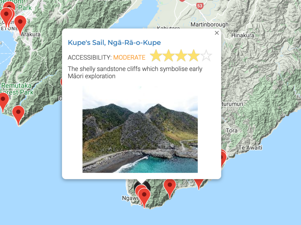
For more information visit geotrips: https://www.geotrips.org.nz/trip.html?id=478

