Evidence for Sea Level Change Locked In The Rocks
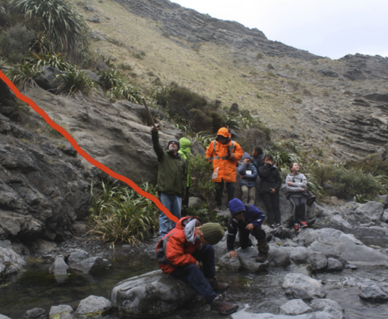
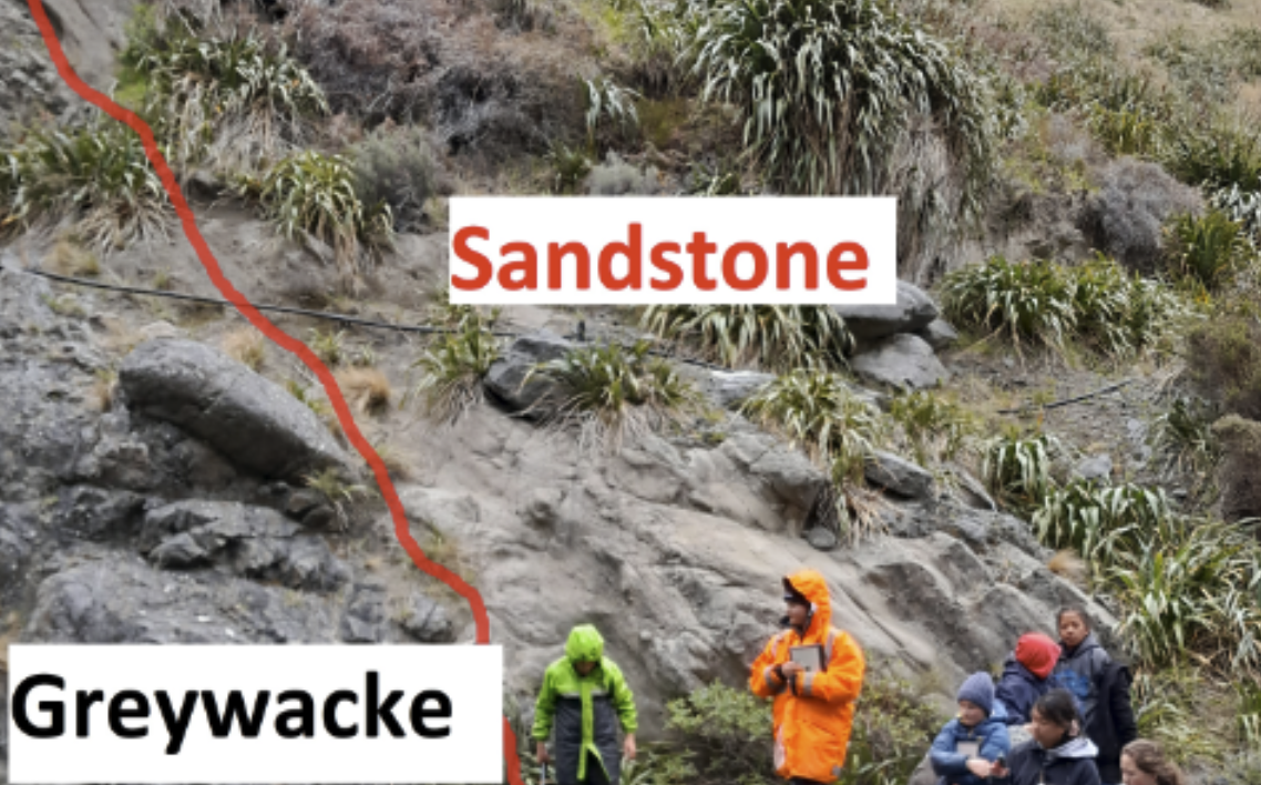
In our PLD trip with Kahutara School, we considered the boundary between greywacke and sandstone. We believe that greywacke formed in deep seas as a result of sediment avalances off the continental shelf onto the abysal plain. The sandstone formed in shallow seas.
Unconformity
So the unconformity marks a point of sea level change from deep water to shallow – in fact there were almost certainly many many sea level changes during this time because the unconformity represents a period of time of over 100 million years.
In the photo (right) the greywacke is folded as a result of the slumping of sediments during avalance events – providing evidence that the sedimentary rocks originated from deep sea environments.
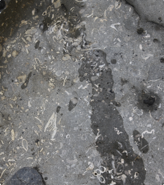
The photo (left) shows a sandstone layer containing lots of fossils – these creatures lived in shallow water sea environments approximately 10 million years ago. They provide evidence that sea level changed.
Sea level changes and field work techniques
More recent events
In our previous posts also looked at some of the ancient events that occurred on Earth and considered the evidence that is locked in the rocks of the South Wairarapa.
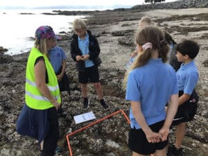
In this post, we are considering some of the evidence for sea level changes and show some of the field work techniques used by staff and students from Pirinoa Primary School.
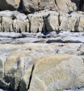
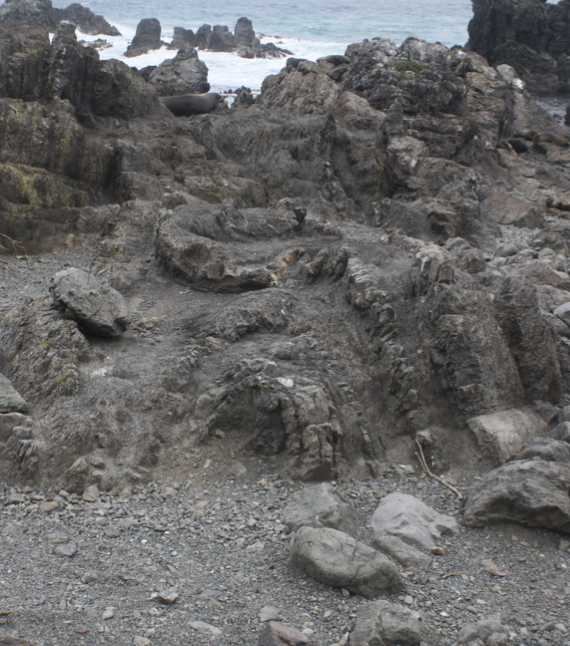
84,000 years ago, the sea level was much higher and cut out a wave cut platform/Interglacial Terrace – blue line in photo below.
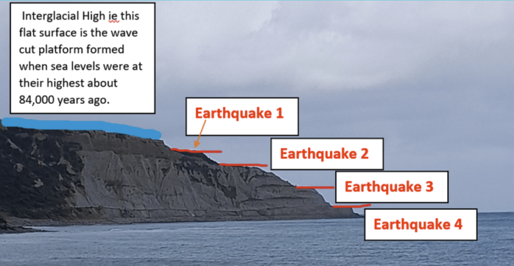
This was followed by an earthquake (Earthquake 1) and this lifted the sea floor above sea level and a new platform was cut. This process of earthquake and uplift has been repeated with at least 3 more earthquakes and each time a new platform was cut.
Field work techniques
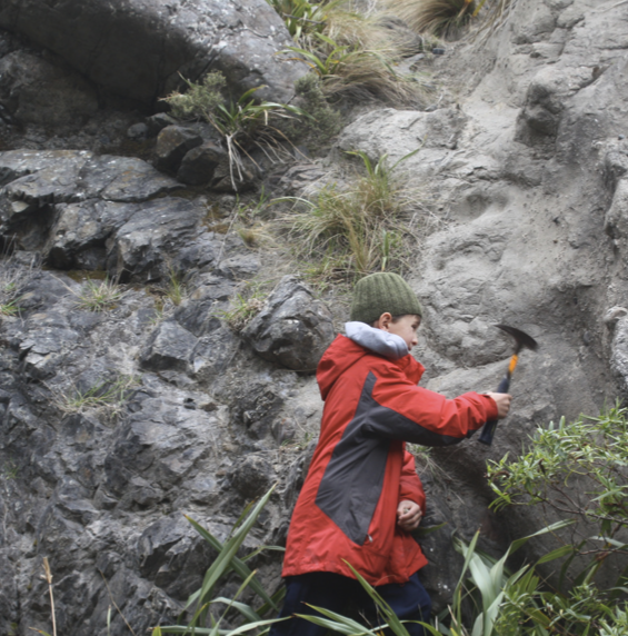
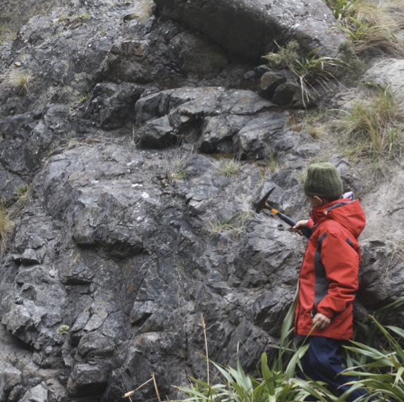
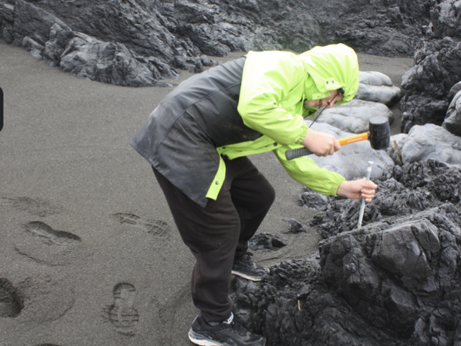
ABOVE: A Pirinoa Primary School student hammers the greywacke (right) which makes a solid, almost ringing tone. Hammering the sandstone (left) makes more of a ‘thud’ sound.
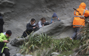
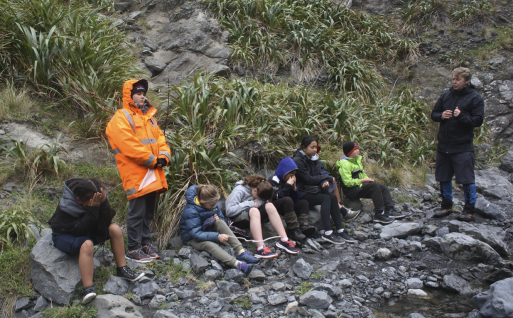
Meanwhile other students closed their eyes (below) and identified the rock type based on the sound produced.
Measuring slope (dip) and direction (bearing)